
Safer, more efficient routes for a better future
Innovation
serving
school transportation
Technologies Geoscolar Inc. develops intelligent solutions to optimize, secure and simplify school transportation through technology.

More safety
for students
Optimized routes
and more efficient
Simplified management
for operators
Positive impact
for our communities
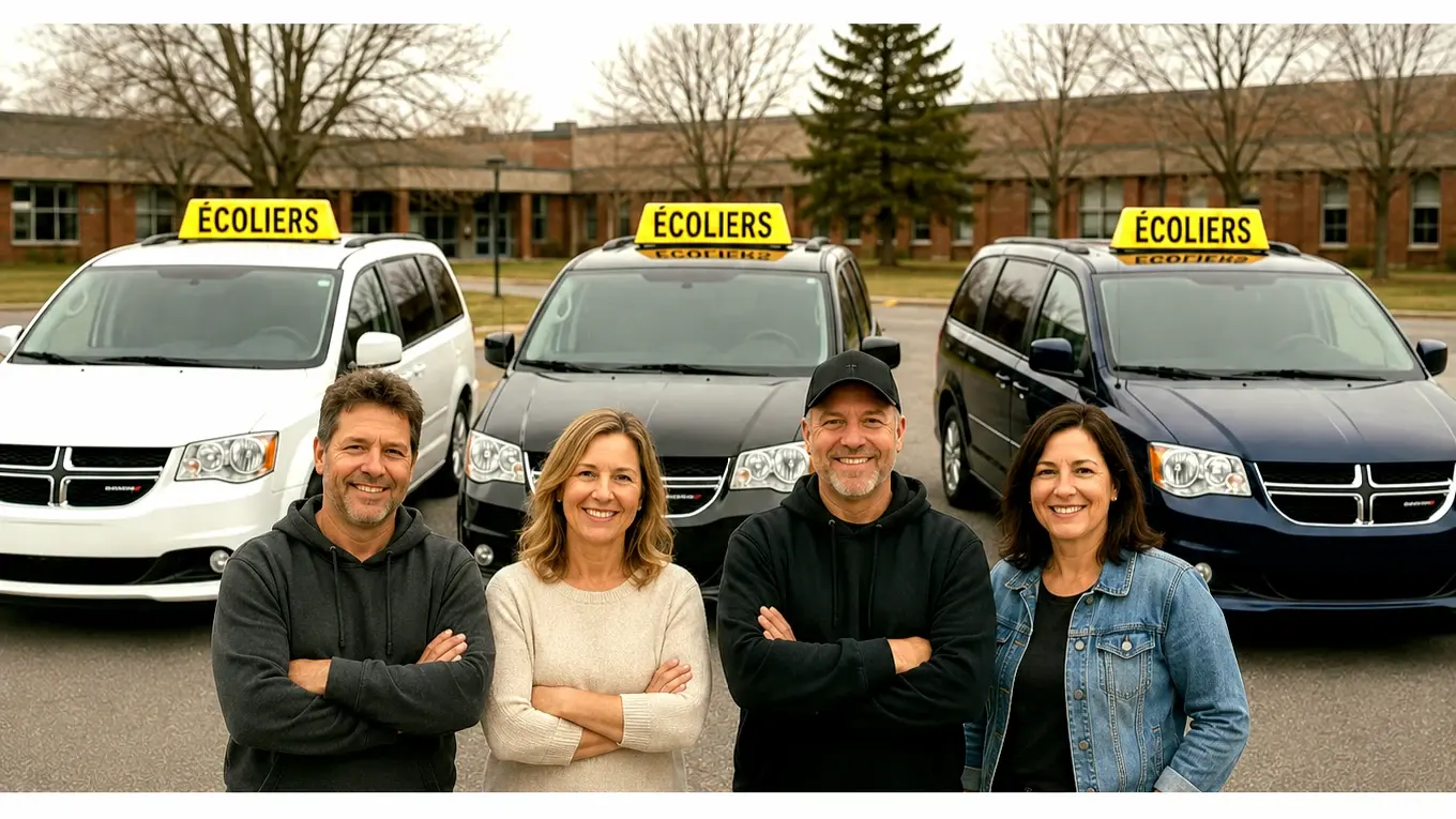
A solution designed around real school transportation operations.
Our flagship solution
KidRoute
The complete school transportation solution
KidRoute centralizes route management, optimizes circuits, supports operational tracking and helps teams coordinate school transportation more effectively.
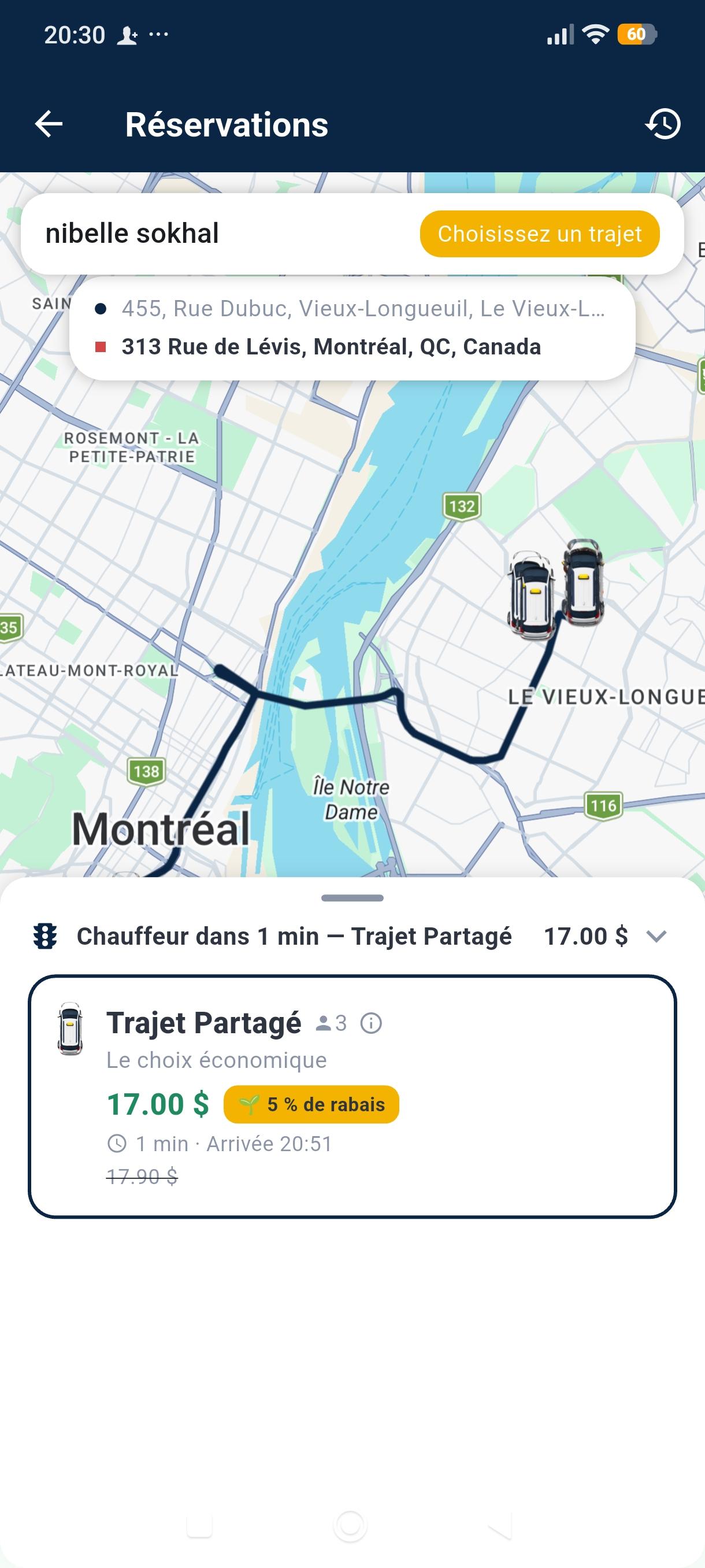
Parent
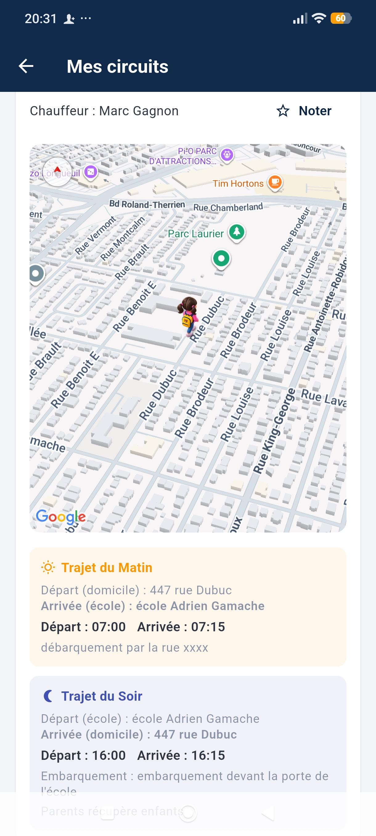
Tracking
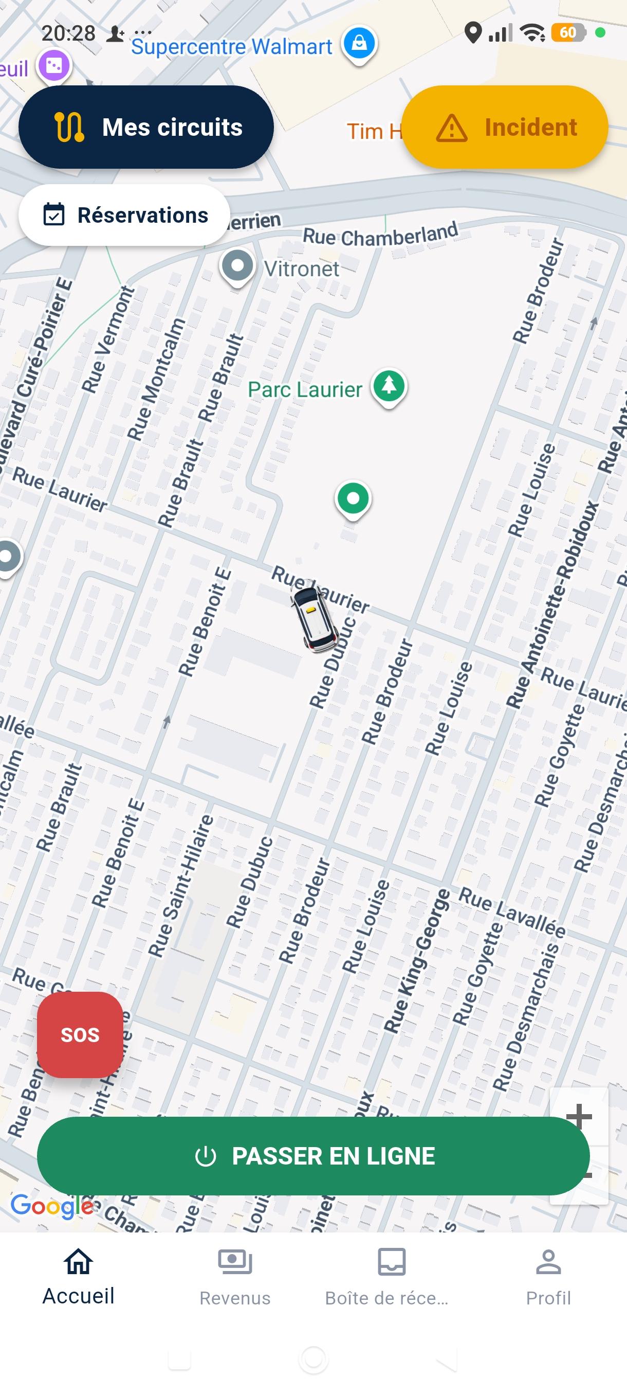
Driver
School transportation is a complex optimization problem.
Most organizations deal with some of these realities — rarely all of them at once.
- Routes built or adjusted manually, sheet by sheet
- Frequent student changes and new addresses
- Different vehicle capacities, including adapted vehicles
- Fragmented coordination between dispatchers, drivers and schools
- Difficulty visualizing the entire network at a glance
- Unnecessary kilometres and vehicle under-utilization
An ecosystem, not just an application.
GeoScolar turns operational data into workable routes, from planning to the field.
GeoScolar Platform
The central environment where school transportation data is gathered and managed.
GeoScolar Dashboard
The interface built for operations and dispatch, with an interactive map.
GeoScolar Optimization Engine
The engine designed to consider route constraints simultaneously.
KidRoute
The field experience — Parent and Driver apps of the ecosystem.
GeoScolar Optimization Engine
An engine designed to consider several constraints simultaneously in order to propose route scenarios — depending on the deployed configuration.
Real vehicle capacity (rather than theoretical capacity)
School-specific schedules
Pick-up time windows
Vehicle / passenger compatibility
Special needs and wheelchair spaces
Specific grouping rules
Your entire network, on one map.
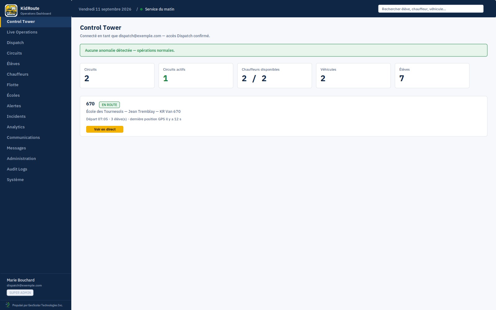
The GeoScolar Dashboard centralizes students, schools, vehicles, drivers and routes for the dispatch team.
- Interactive map of routes and stops
- Real-time route status and alerts
- Operational statistics and indicators
KidRoute Dashboard
Real-time operational control
KidRoute — the field experience of the GeoScolar ecosystem
KidRoute Parent
Transportation information, trip tracking, notifications and status, depending on deployment.
KidRoute Driver
Assigned routes, pick-ups, navigation and communication with dispatch.
Built to integrate with your environment.
GeoScolar doesn't necessarily require replacing your existing infrastructure. An architecture designed to ease interoperability with systems already in place.
Measure to plan better.
Operational indicators to compare a plan before and after optimization.
Planned kilometres / day
Vehicle utilization rate
Average route duration
Demonstration data — does not represent any actual results.
- Planned kilometres
- Kilometres saved (indicative)
- Average route duration
- Vehicle utilization rate
- On-time performance
- Before / after optimization comparison
Start with your own data.
01
Data import
Your current files — students, addresses, schedules, vehicles.
02
Validation and cleanup
Identifying anomalies before any calculation.
03
Constraint configuration
The rules actually applied at your organization.
04
Optimization
Generating route scenarios.
05
Comparison with current state
Kilometres, durations, number of vehicles.
06
Results analysis
Discussing gaps and limitations.
07
Pilot project
Deployment on a limited scope.
08
Progressive rollout
Expansion based on pilot results.
Security and privacy by design.
Designed with Québec's personal information protection requirements in mind.
- Access control and authentication
- Roles and permissions
- Encrypted communications
- Logging
- Data minimization
- Backups
Let's talk about your routes.
A demonstration, a question, or a pilot project to evaluate — our team is here to help.
Request a demonstration